All the Way Up: Discover the 10 Highest Peaks in the Smoky Mountains
Would you like to save this full guide?
The highest peaks of the Great Smoky Mountains stand as sentinels, overlooking rolling hills, verdant valleys, and even other peaks from unique perspectives. The highest peaks dot the ridgeline which serves as the state line between Tennessee and North Carolina.
The Smokies offer the highest point on the Appalachian Trail, which is also the apex of Great Smoky Mountains National Park. A few notable peaks stand out, like Kuwohi (formerly known as Clingmans Dome) and Mount LeConte, but what about the other Top 10 Highest Peaks in the Smokies?
We’ve scoured the landscape for the highest peaks and the challenging effort it takes to get to some of them.
Kuwohi (formerly known as Clingmans Dome)
ELEVATION: 6,643
HIKING DIFFICULTY: Easy to Moderate
VIEWS: Excellent
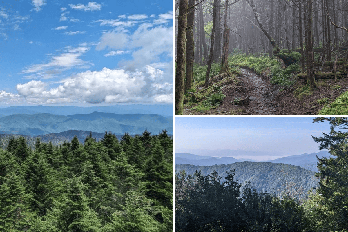
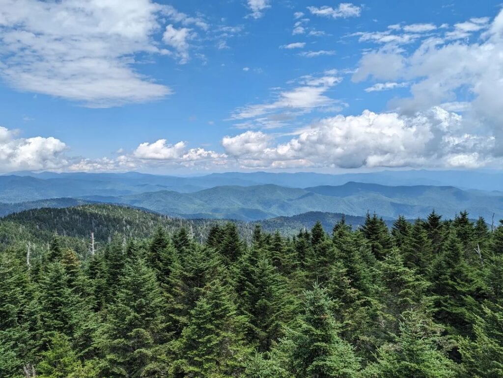
As the tallest peak in the Smokies and the highest point in Tennessee, hikers can bag two novelties at this peak. In addition, the observation platform rises about 50 feet higher than the peak.
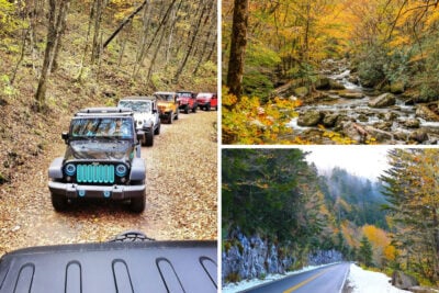
The seven-mile Kuwohi (formerly known as Clingmans Dome) Road is right across from the Newfound Gap. Closures are in place on that road from December 1 through April 1, but you can walk the road if you’d like. When snow is present, cross-country skiing to Clingman’s Dome is an option if you have the gear.
The Appalachian Trail (A.T.) crosses over the peak, too, with an option to hike those seven miles instead of driving.
Drivers should know that there’s still about a half-mile hike up a steep paved trail to get to the observation tower and then another loop rising up to the top.
Mount Guyot
ELEVATION: 6,621
HIKING DIFFICULTY: Strenuous
VIEWS: Minimal at Summit, Excellent on the Trail
The second-highest peak is one of the hardest to reach, and you’ll face wilderness, bushwhacking, and remoteness along the way. Mount Guyot is named for the Swiss-American geographer and geologist Arnold Henry Guyot. An identically named mountain is in the Rockies, but more than twice as tall.
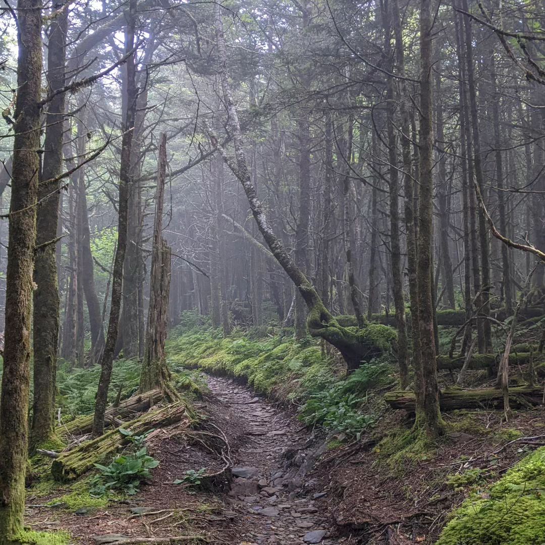
Mount Guyot should only be attempted by experienced peak baggers or expert hikers who are wilderness loyalists. This is old growth forest, spared from the early logging years of the Smokies. That sounds enchanting, but the final ascent is about 1,000 feet of a 300-foot ascent bushwhacking through the old-growth wilderness.
The trail takes anywhere from 15 to 33 miles to complete, with the easiest access points from Snake Den Campground or Newfound Gap. Before the A.T. was carved here, few footprints touched this land.
One account of hiking the summit in 1900 noted, “The Tennesseeans seem afraid of the mountains, and the Cherokees of the North Carolina side equally so; for, two miles from camp, all traces of man, except surveyors’ marks, had disappeared.”
Hikers need a backcountry permit to explore this area.
HOW DO YOU SAY THAT? Mount Guyot is pronounced “GHEE-oh.” Not “Gio.”
Mount Le Conte
ELEVATION: 6,593
HIKING DIFFICULTY: Moderate to Strenuous
VIEWS: Excellent On-Trail, Wooded at Summit
It takes a good deal of effort to summit Mount Le Conte, but this famed trail is worth every bit of effort if you’re up for it. You even get to choose from half a dozen trails to get there, and there’s a lodge at the top.
Trail lengths range from 10 miles to 20 miles round trip, and no roads get you any closer to the summit. Alum Cave is the shortest but among the most challenging, with unique sights along the way. Rainbow Falls rules for waterfall lovers, but expect crowds at peak season.
If you’re staying at the lodge, you’re hiking all your stuff there and back unless you want to take a horse on the Trillium Gap Trail. That trail is longer but doesn’t have the swift elevation gain, making it feel less punishing on the incline and easier on the knees coming down if you’re hiking.
The high point of Mount Le Conte is surrounded by trees, but tap your foot to bag the peak and make your way to Cliff Tops and Myrtle Point for views that rival Kuwohi (formerly known as Clingmans Dome).
Mount Buckley
ELEVATION: 6,580
HIKING DIFFICULTY: Easy
VIEWS: Minimal at Summit
If naturalist S.B. Buckley had his way, his name would’ve been put on what we now know as Kuwohi (formerly known as Clingmans Dome). Instead, his name resides less than half a mile southwest of the high point of the Smokies.
The trail to get to Mount Buckley starts in the Kuwohi (formerly known as Clingmans Dome) parking lot. To avoid the paved route and crowds, take the Clingman’s Dome Bypass Trail to the Appalachian Trail. You’ll head southwest through a wooded area with limited views before reaching the highest point.
Trees surround the summit, but peak baggers will want to take the short route just to knock it off the Southern Sixers list. If you’re at Kuwohi (formerly known as Clingmans Dome), just take the A.T. west 0.4 miles to Mount Buckley. In fact, within a mile, you can get three 6,000+ peaks off the list.
Mount Chapman
ELEVATION: 6,417
HIKING DIFFICULTY: Strenuous
VIEWS: Excellent views of Mount Guyot
Mount Chapman sits on the same ridgeline as Mount Guyot, just another 1.5 miles toward Newfound Gap. Hikers take the same trail options to get there, but if you’re going to Guyot, you’ll get Chapman as a bonus.
As a reminder, this section of Great Smoky Mountains National Park is in old-growth forest. The palpable wilderness experience is unlike anything you’ll find on the more crowded trails. This is also a great way to get a taste of the much longer Appalachian Trail experience.
The name is dedicated to David Champman, a strong advocate and fundraiser for the establishment of Great Smoky Mountains National Park.
Mount Love
ELEVATION: 6,420
HIKING DIFFICULTY: EasyVIEWS: A few, but not ideal
Mount Love is the third knob of the highpoint ridge that includes Kuwohi (formerly known as Clingmans Dome) and Mount Buckley. Mount Love is also on the A.T., about a half mile west of Clingman’s Dome. Walking the trail for each peak would be about one mile.
Again, the easiest way to make this trek is via the Kuwohi (formerly known as Clingmans Dome) parking area. If you’re just tackling Mount Love, you’ll still pass Kuwohi (formerly known as Clingmans Dome) and have about a three-mile roundtrip hike.
Those walking from Newfound Gap on the A.T. to Mount Love will get there in 6.8 miles one way.
Old Black
ELEVATION: 6,370
HIKING DIFFICULTY: Strenuous
VIEWS: Trees cover the summit
By now, you’re likely noticing a trend of peaks bouncing back and forth between Kuwohi (formerly known as Clingmans Dome) and Mount Guyout — this one is back near Guyout.
The name Old Black is a testament to that old-growth we keep talking about, as the dark green nature of the thick forest gives a darker appearance from a distance. You can get here from Newfound Gap or Cosby Campground, but you’re still looking at a 15 to 32-mile hike to experience this.
The shorter iteration faces that challenging Snake Den Trail, which rises 3,400 feet in elevation across five miles of switchbacks and wilderness. The trail is a nice Southern Sixer to knock off on the way to Mount Guyot.
One thing to note on this trail is that it was the site of an F-4 Phantom military crash in 1984. The plane disintegrated upon impact between Old Black and Inadu Knob, near the connecting point of Snake Den Trail and the A.T. Small pieces of wreckage are still in that area.
Luftee Knob
ELEVATION: 6,234
HIKING DIFFICULTY: Strenuous
VIEWS: Tree-covered Summit
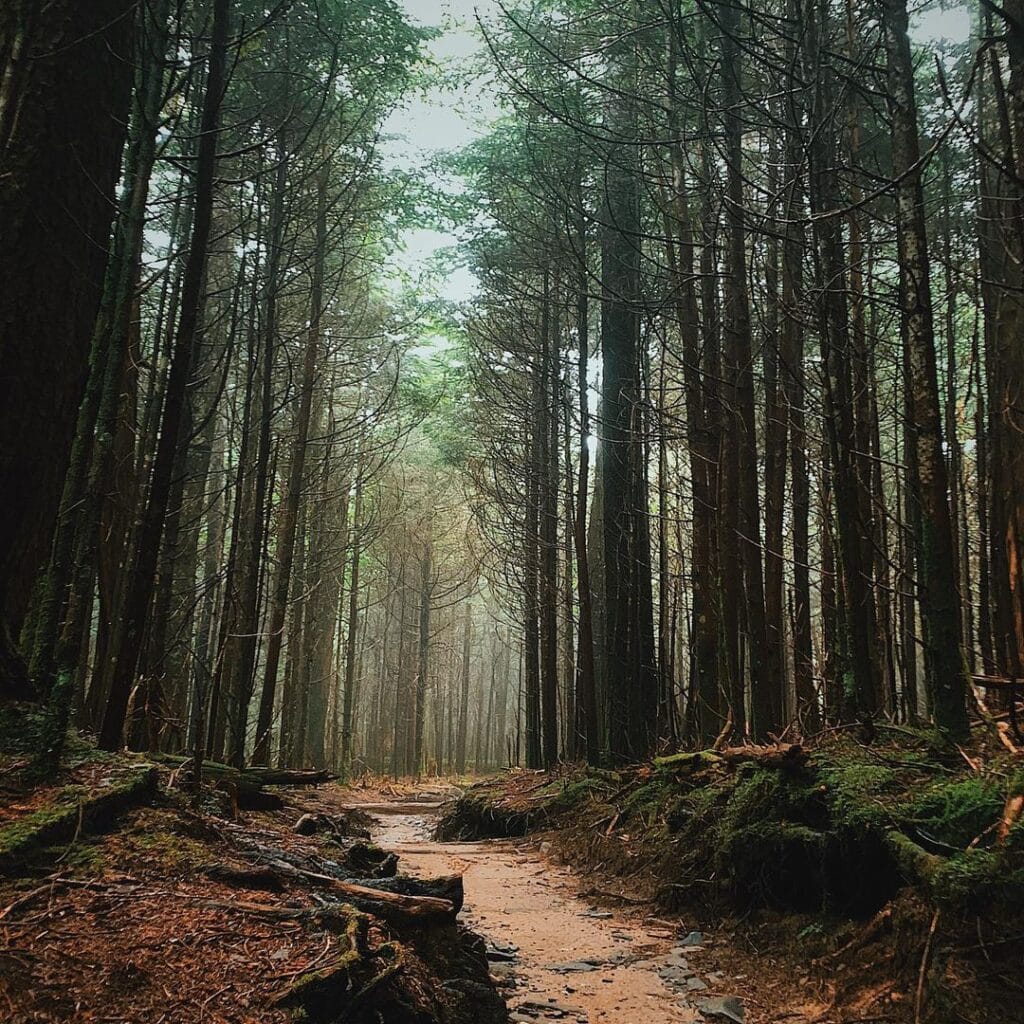
If you believe that the Mt. Guyot family of peaks is too challenging, you’re really going to dislike Luftee Knob. This remote knob offers no amazing views at the peak but does go through a forest so rich and lush that you wouldn’t be surprised if a hobbit or the Lord of the Rings cast walked by.
Getting here can easily be a 10-25 mile round-trip hike, and if you’re using the A.T. connector, you’ll veer onto Balam Mountain Trail. If you’re coming this far, you might as well bushwhack your way to “Big Cat” (Big Cataloochee Mountain, 6’155), about four miles closer to Mount Sterling.
In the Smokies, the deep wilderness also means less maintenance on trails and blowdowns that require scrambling after big storms or high winds.
Mount Kephart
ELEVATION: 6,217
HIKING DIFFICULTY: Moderate
VIEWS: Excellent
Mount Kephart is one of the best investments of time hiking enthusiasts will find in the Smokies. However, it suffers from a lack of marketing and more prestigious stops nearby. It’s not hard to find, as some people have probably made the summit without even realizing it.
From the Newfound Gap Parking area, you follow the A.T. for about three miles, where it meets with the Boulevard Trailhead to Mt. LeConte. While the trail to Mount Kephart isn’t on the official park map, there is a spur trail at this junction that will take you right over the summit.
That spur trail leads to The Jumpoff (6,000’), an outcropping of rocks with a vertical drop down about 1,500 feet – a rarity in an otherwise knobbed, domed, and sloped set of mountains. This should be on any hiker’s Great Smoky Mountains Bucket List.
The views along the bulk of this trail and the scenic vistas are mesmerizing. Since it’s an out-and-back (unless you‘re heading up the Boulevard), you’ll get those views both ways.
Mount Collins
ELEVATION: 6,188
HIKING DIFFICULTY: Moderate to Strenuous
VIEWS: Minimal at Summit
On the same ridge as Kuwohi (formerly known as Clingmans Dome), Mount Love, and Mount Buckley, you’ll find Mount Collins on the A.T., 2.3 miles east of Mount Love.
The trek is through woods with an easy 20-minute jaunt from the Fork Ridge Trailhead just off Kuwohi (formerly known as Clingmans Dome) Road (near mile marker 3.6). If you’re coming from Newfound Gap, plan for nine miles round trip. A much longer hike, 12.1 miles, along the Sugarland Mountain Trail is another option.
The summit is another one covered in trees, with a few window pockets of views along the hike.
The mountain is named for Robert Collins, a local man who led Guyot through the ridgeline to measure mountains in the 1850s. He was buried in the Smokemont Cemetery.
Start Planning Your Mountain Adventure Now
For those who like mountain challenges, tackling the Southern Sixers (peaks above 6,000’ in the Southern Appalachian) includes 40 peaks. If you bag them all, you can join the South Beyond 6,000 club.
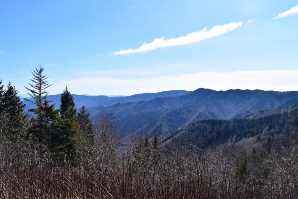
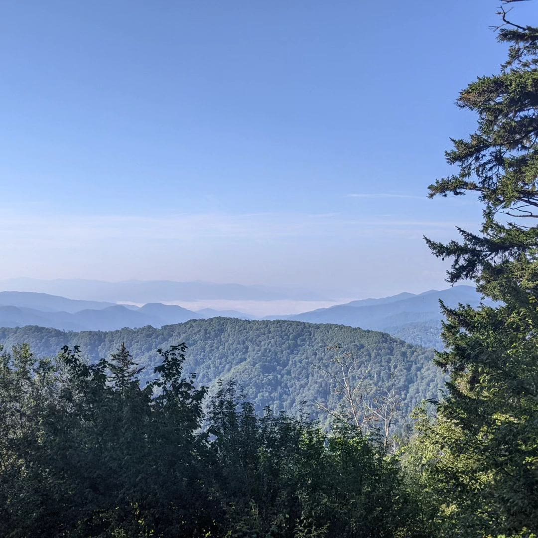
If you’re more concerned with views than elevation, you’ll notice some of the highest peaks have little to no scenic views. Some of the best spots for scenery include Kuwohi (formerly known as Clingmans Dome) and Mount LeConte, but also check out Charlies Bunion (5,528′), Andrews Bald (5,906′), Newfound Gap (5,049′), Chimney Tops (4,724′), and Mount Cammerer (4,928′).
You can also enjoy views of the highest peaks in the Great Smoky Mountains from Newfound Gap Road or Foothills Parkway, complete with scenic pullouts to enjoy the views.