12 Best (Easy) Hikes in the Smokies
Would you like to save this full guide?
So you want to hike in Great Smoky Mountains National Park, but prefer an easy route. Not every trail in the Smokies has to leave you gasping for air and wondering why you didn’t just stick to the scenic drive.
The best easy hikes in the Smokies still include signature waterfalls, wildflowers, and mountain views.
The big question to address first is, what does an “easy” hike in the Smokies look like? Whether you’re an experienced trekker or have bad knees, “easy” means something different. For our list, we’ve detailed what makes each trail easy.
They are all less than five miles round-trip without excessive elevation gain, scrambling, or backcountry locations. We’ve also made an extra note if a trail is one of the accessible options in the park.
These easy hikes give you a taste of the Smokies, with still enough stamina to walk to the Parkway or wander Cades Cove.
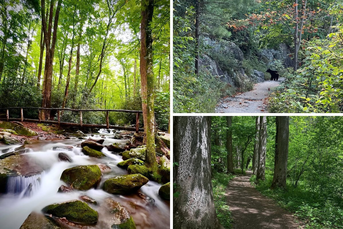
Gatlinburg Trail
Length: 4 miles
Elevation Gain: Minimal
Parking: Sugarlands
Why It’s Easy: Wide, mostly flat, riverside path close to town
Accessible?: Yes
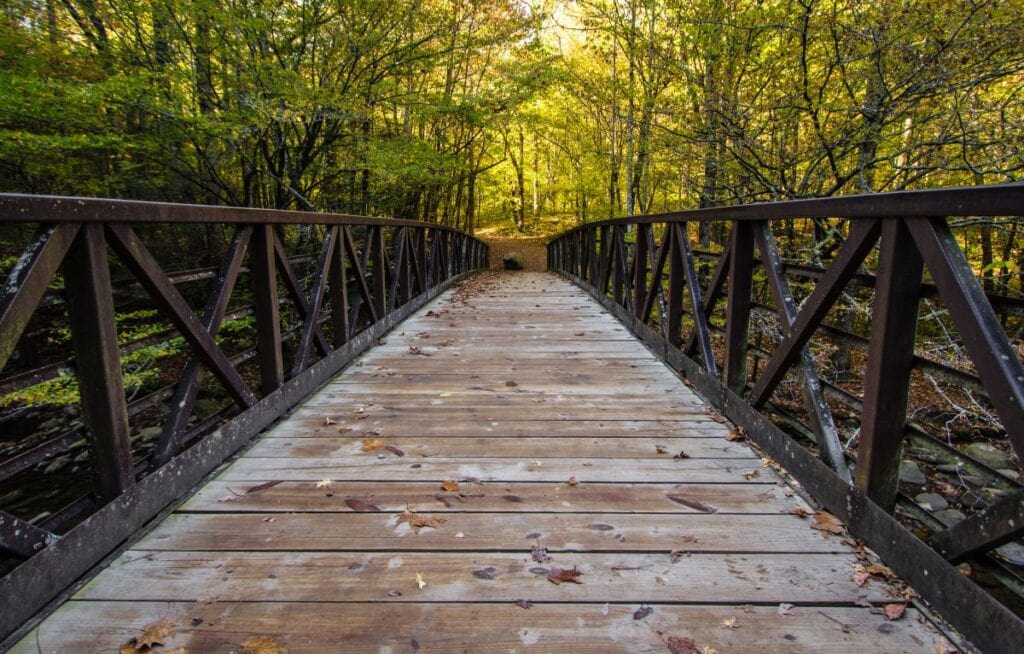
The Gatlinburg Trail is one of the most accessible hikes in the Smokies, perfect if you want nature without leaving town. The trail runs alongside the West Prong of the Little Pigeon River and passes stone walls and chimneys from old homesteads.
At just under two miles each way, it’s a relaxed stroll with plenty of shade and water views. A pedestrian walkway covers the river, and benches are lined along the way if you want to rest. It’s also one of only two trails in the park that allow both dogs and bicycles.

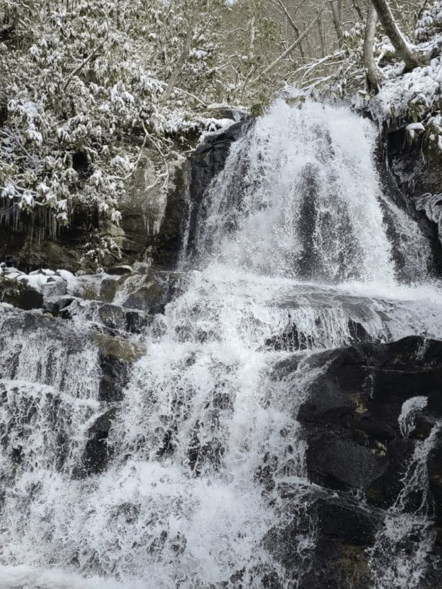
Cataract Falls (Fighting Creek Nature Trail)
Length: 0.7 miles
Elevation Gain: Minimal
Parking: Sugarlands
Why It’s Easy: Wide, mostly flat, riverside path close to town
Accessible?: Yes
This short trail near Sugarlands Visitor Center is one of the easiest walks in the park, making it a go-to for families and first-time visitors. The path winds through shaded woods, crosses a small creek, and ends at a 25-foot waterfall that feels like a hidden surprise so close to Gatlinburg. At less than a mile round trip, it’s a quick outing with a big payoff.
While the trail includes a few short stair sections and optional log crossings over the creek, there’s also a well-maintained path that avoids obstacles. This makes it manageable for most visitors, including families with strollers or anyone who prefers a gentler walk.

Kuwohi (formerly Clingmans Dome) Trail
Length: 1 mile
Elevation Gain: 330 feet
Parking: Kuwohi
Why It’s Easy: Short, paved trail with benches for breaks; leads to the park’s highest point
Accessible?: Not at the summit, but the parking area has excellent viewpoints with an accessible area. No elevator to the summit.
The trail to Kuwohi, the highest point in the Smokies, is short but steep. It’s only a half-mile each way, with a 330-foot climb, but the path is smooth, paved, and stair-free. That makes it one of the most straightforward trails in the park, even if the grade surprises some hikers.
Wheelchairs and strollers aren’t recommended due to the incline, but benches offer spots to catch your breath. The payoff is huge, including panoramic, 360-degree views from the observation tower at 6,643 feet.

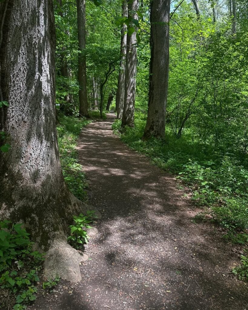
Elkmont Nature Trail
Length: 0.8 miles
Elevation Gain: Minimal
Parking: Elkmont
Why It’s Easy: Level, gentle loop through the woods
Accessible?: Not fully, due to uneven surfaces
The Elkmont Nature Trail is a quick and simple loop that showcases the forest setting of the Smokies without requiring much effort. The trail begins near the campground entrance, making parking and access straightforward.
Along the way, you’ll find interpretive signs that explain the plants, trees, and wildlife around you, turning this short walk into a mini outdoor classroom.
With its easy grade and shaded setting, it’s a great option for families with kids or anyone who wants a relaxed stroll. You can also wander over to the Elkmont Historic District, where preserved cabins from the old Daisy Town community still stand.
If that trail was too easy, check out the Little River Trail that follows the river past even more remnants of Elkmont’s past.

Laurel Falls
Length: 2.6 miles round trip
Elevation Gain: 315 feet
Parking: Laurel Falls Trailhead
Why It’s Easy: Paved trail with a gradual incline and a big waterfall payoff
Accessible?: Not fully, due to uneven pavement and steep drop-offs
Laurel Falls is one of the park’s most famous hikes, leading to an 80-foot waterfall along a paved path. The round-trip is just over two and a half miles, with a steady but manageable climb that most visitors can handle.
Note that the trail to Laurel Falls is undergoing rehabilitation work through at least spring 2026, so always check park conditions before you go. However, once finished, the trail will be easier than ever with fresh pavement, safety enhancements near steep areas, and additional parking added.
Oconaluftee River Trail
Length: 3 miles
Elevation Gain: Minimal
Parking: Oconaluftee Visitor Center, near Cherokee, NC
Why It’s Easy: Flat riverside path with shade and cultural points of interest
Accessible?: Yes
The Oconaluftee River Trail begins at the visitor center near Cherokee and follows the river for an easy, flat walk. It’s the second of just two trails in the park open to both dogs and bicycles.
Along the way, you’ll pass forests, open meadows, and interpretive signs tied to Cherokee heritage. The trail also offers some of the best chances to spot elk without making the longer drive to Cataloochee Valley.
Paired with the Mountain Farm Museum at the trailhead, you get culture, history, and wildlife into one easy hike.
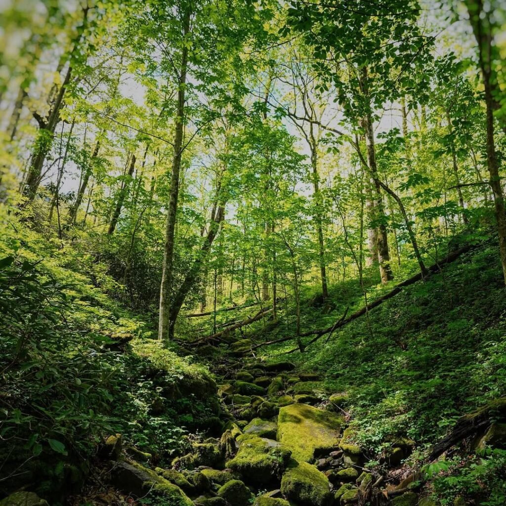
Cove Hardwood Trail
Length: 0.75 miles round trip
Elevation Gain: About 250 feet
Parking: Trailhead or Chimneys Picnic Area
Why It’s Easy: Short loop through lush old-growth hardwood forest with wildflowers
Accessible?: No.
Cove Hardwood Trail is a short loop tucked into the Chimneys Picnic Area, offering a compact but rich forest experience. After climbing a set of stairs (about 40 steps) from the trailhead, the path settles into gentler ups and downs through a cove hardwood forest packed with old-growth trees, wildflowers in spring, and seasonal forest charm.
This should be on the must-see list for those visiting in spring or fall, as the wildflower displays are sensational, and fall foliage shows off in the mix of new growth and old growth trees.
Plus, it’s a perfect stop on the way to or from the Newfound Gap overlook from Gatlinburg.

Deep Creek Waterfall Loop
Length: 2.4 miles
Elevation Gain: About 500 feet
Parking: Deep Creek
Why It’s Easy: Much of the trail follows the creek, so you get mostly flat terrain, beautiful waterfalls without a huge climb
Accessible?: Partially, from Deep Creek to Indian Creek
The Deep Creek Waterfalls Loop is a short hike with a big reward: three waterfalls in less than three miles. Along the way, you’ll see:
- Tom Branch Falls
- Indian Creek Falls
- Juney Whank Falls
The only part to prepare for is the 300-foot stretch to get to Juney Whank Falls, which is nearly 200 feet in elevation change.
Most of the trail follows shady creekside paths, so it feels relaxed until the steeper finish. When the weather’s warm, you’ll share the parking lot and trail with tubers cooling off in Deep Creek.
For minimal effort, you get a waterfall trifecta plus rushing water and forest scenery, making it one of the park’s best easy hikes. Plus, it’s a great excuse to get out of Gatlinburg and go to the North Carolina side of the Smokies.

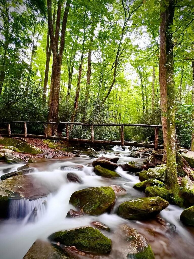
Middle Prong Trail
Length: 1.4 miles
Elevation Gain: Minimal
Parking: Tremont
Why It’s Easy: Old logging railroad bed gives a wide, relatively level footing
Accessible?: Yes.
The Middle Prong Trail takes you to the Lynn Camp Prong Cascades on a short, scenic hike to a cascading waterfall. Over 1.4 miles round-trip, you follow a broad, mostly flat railroad-grade path through woods, dipping into rhododendrons and rocky cascades.
The highlight is the cascade itself. Expect wide, tumbling water framed by cliffs and forest. Because the route uses old logging beds, footing feels easier than many upland trails. That said, the trail narrows in spots and has some washouts, so while it’s “easy,” it’s not completely barrier-free. Check trail conditions, especially after storms.
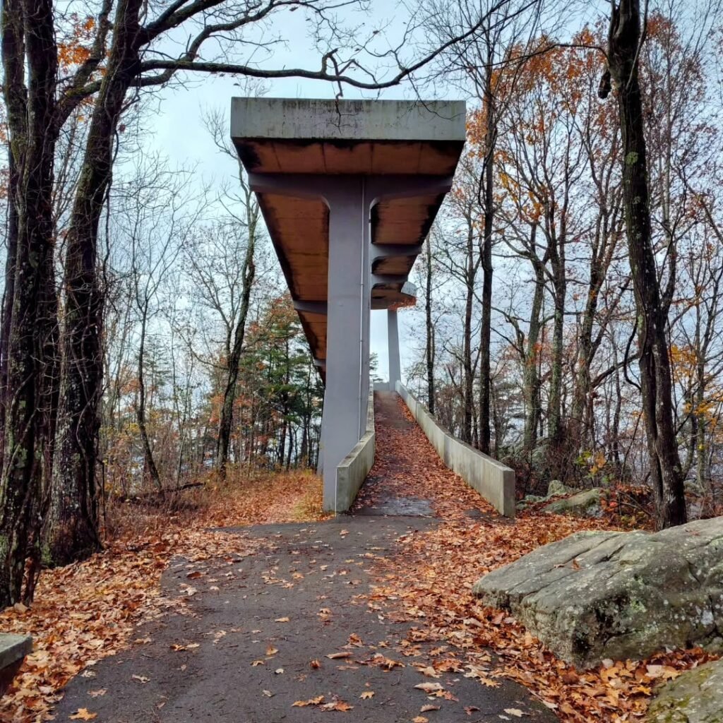
Look Rock Tower Trail
Length: 0.8 miles
Elevation Gain: About 160 feet
Parking: Look Rock
Why It’s Easy: Short, paved trail with a steady but manageable climb
Accessible?: Not really, some sections are steep for wheelchairs
If you’re road tripping on Foothills Parkway West, you don’t want to miss this roadside stop. The Look Rock Tower Trail is only 0.4 miles each way, paved the entire route, and climbs gently to an observation tower with 360-degree views.
On clear days, you can spot everything from Mount Le Conte to the Cumberland Plateau. Accessing the tower is like exploring a mini Kuwohi path, but still with some moderate inclines in spots.
When mapping this out, don’t confuse the Look Rock Picnic Area with the Look Rock Tower. They are across the street from each other, but both have excellent views.
Gabes Mountain Trail
Length: 4.4 miles
Elevation Gain: 900 feet
Parking: Cobsy
Why It’s Easy: It’s “easy” for experienced hikers who want a bit more distance and challenge.
Accessible?: No
This trail is a good option if you want something longer than the typical “easy” hikes, but still manageable without serious climbing. Plus, it also gets you to explore the Cosby section of the park.
Gabes Mountain Trail snakes through classic Smokies forest and ends at Hen Wallow Falls, a 90-foot cascade that fans out beautifully across the rock face. While the spur down to the falls is steeper and footing can be rough, most of the hike is a steady, gradual climb.
Be sure to look down into the water to see why the Smokies are known as the “Salamander Capital of the World.”
It’s a rewarding choice for hikers ready to push a little beyond the beginner level. However, the waterfall dynamic is dependent on recent rain or snowmelt.
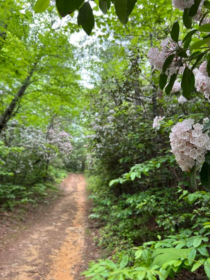
Schoolhouse Gap
Length: 4.4 miles
Elevation Gain: 500 feet
Parking: Laurel Creek
Why It’s Easy: Wide, mostly gentle former roadbed.
Accessible?: No
The real reason to hike Schoolhouse Gap is the wildflower show in spring, when trillium, phlox, and violets light up the wide old roadbed with color. Fall also brings plenty of rewards, with bright foliage and quiet forest views.
The 4.4-mile round-trip has about 500 feet of elevation gain, but the grade is so gentle you barely notice it. This is an easy stop on the way to or from Cades Cove.
Heads up: don’t get on Schoolhouse Gap Road. That’s outside the park and doesn’t take you to this trail.
Easy Hikes in the Smokies for Everyone
Those with mobility issues can check out a GRIT Freedom Chair for hiking the accessible trails. The chairs are free to use, and you can reserve them in advance or request one when you arrive on a first-come, first-served basis.
No matter how you hike the Smokies, these trails are great, easy options, but can also offer a warm-up to more difficult trails. Most options intersect with other trails along the way.
What’s your favorite easy trail in Great Smoky Mountains National Park?


