12 Best (Mid-Level) Hikes in the Smokies
Would you like to save this full guide?
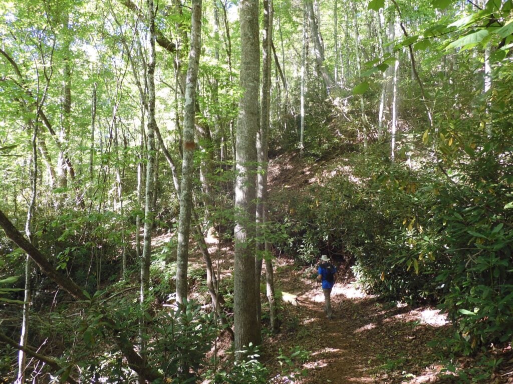
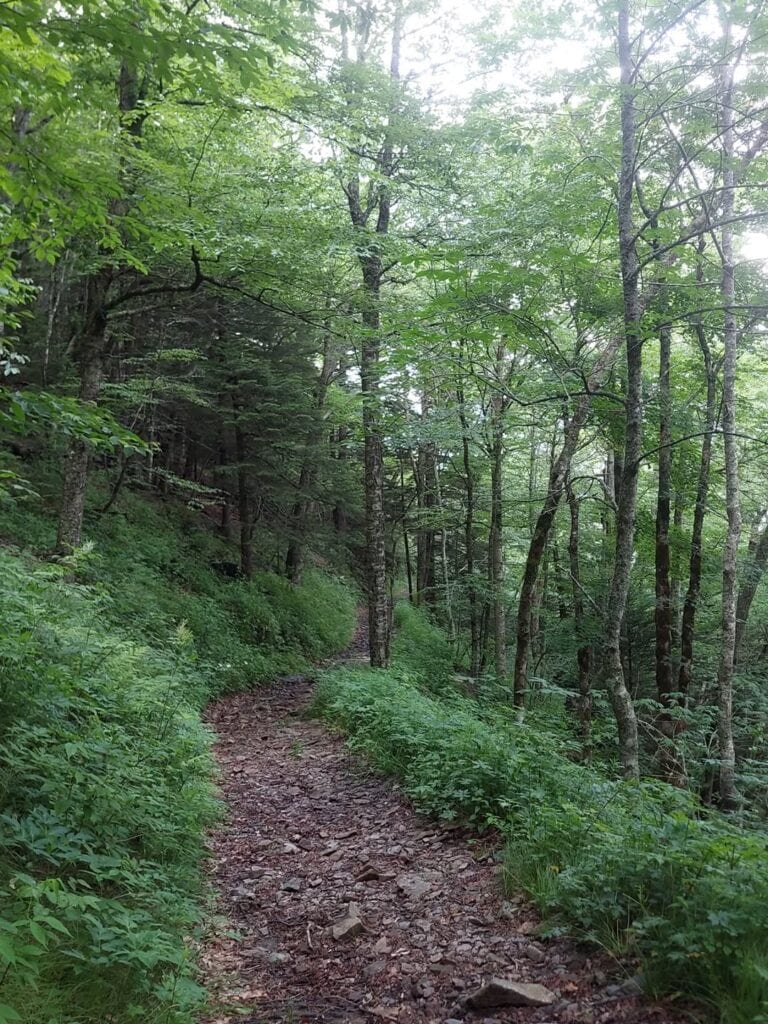
With more than 800 miles of trails in Great Smoky Mountains National Park, the choices for mid-level hikes are as expansive as the menu at any pancake house! The best trails lead to scenic vistas, stunning waterfalls, and even cultural landmarks, slowly giving way to forest growth.
It’s a four-season smorgasbord, but to help get your hike planning started, we’ve rounded up our favorite moderate hikes in Great Smoky Mountains National Park.

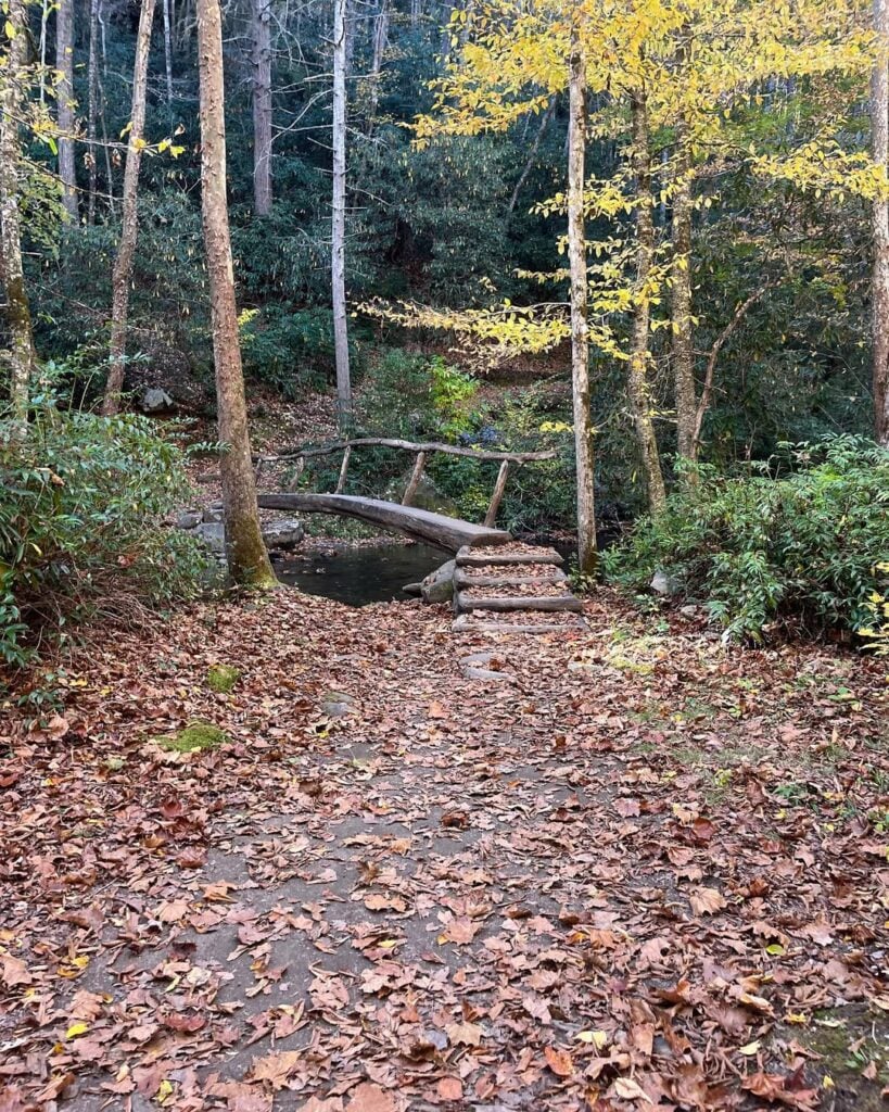
Rainbow Falls
Length: 5.6 miles
Elevation Change: 1,500 feet
Park Section: Cherokee Orchard
Challenges: Steep, rocky, and ice-covered in winter. During heavy rain or flooding, the trail can be impassible.
Rainbow Falls is one of the best mid-level hikes in the Smokies because it balances effort and reward. The trail climbs steadily but not brutally, making it a solid choice if you want something harder than an easy stroll but easier than a full summit grind.
Its claim to fame is the 80-foot waterfall, the tallest single-drop fall in the park, which often throws rainbows through its mist on sunny afternoons. Few other trails in the Smokies give you that mix of challenge, scenery, and payoff in just a half-day outing.
Past the falls, this trail goes to the summit of Mt. Leconte for a 13-mile round-trip strenuous adventure.
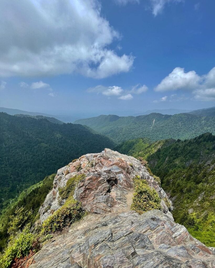
Charlies Bunion
Length: 8 miles
Elevation Change: 1,900 feet
Park Section: Newfound Gap
Challenges: Ice in winter (micro spikes needed) and steep, exposed cliffs with narrow trail sections.
Charlies Bunion sits on the harder end of moderate, and some novice hikers will flat-out call it difficult. The climb from Newfound Gap is steady and long, but the payoff makes the sweat worth it.
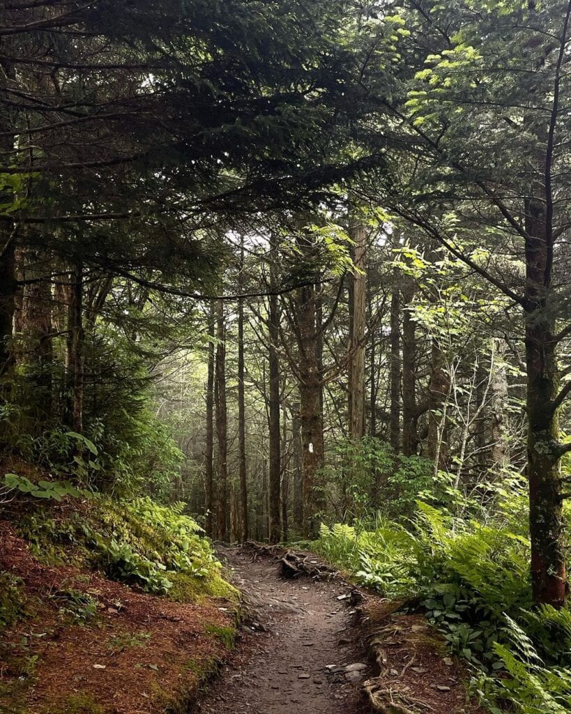
Along the way, you’ll walk a section of the Appalachian Trail with sweeping Smokies views, cross spruce-fir forests that feel almost alpine, and spot layers of ridgelines fading into the distance.
The rocky outcrop at the end is the real prize, giving you one of the most dramatic overlooks in the park. The name came from a local hiker in the 1920s who had a bunion on his foot, and his hiking partner said it resembled the rock overlook.


Alum Cave Trail
Length: 4.6 miles
Elevation Change: 1,200 feet
Park Section: Alum Cave Trailhead
Challenges: Ice/falling icicles in winter months, microspikes recommended.
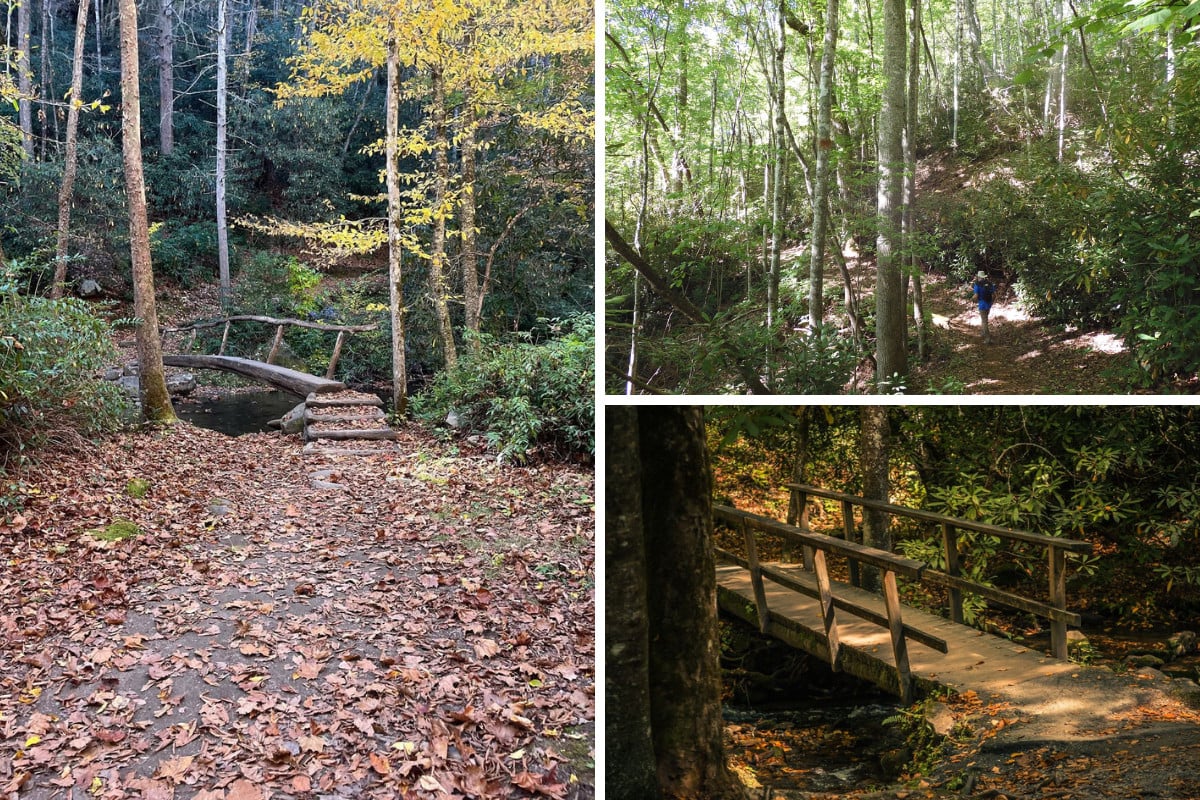
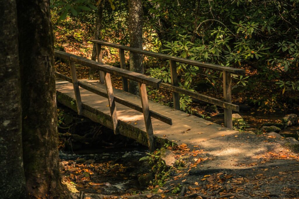
This is another way to reach Mount LeConte, but plenty of hikers stop at Alum Cave for a satisfying mid-level adventure. The trail starts with a gentle walk along Alum Cave Creek, crossing log bridges and passing through old-growth hardwoods.
It soon narrows into Arch Rock, where you climb stone steps through a natural archway. This can also be a great turnaround point if you feel the hike is too hard. The path climbs steadily toward Inspiration Point, a rocky perch with views across the valley.
Alum Cave itself is more of a concave bluff than a true cavern, but its sheer size makes it impressive and a natural turnaround spot.
If you keep going past Alum Cave toward LeConte, the hike becomes far more strenuous. The trail gains about 2,700 feet in just 5 miles, with steep switchbacks and exposed sections near the top.
Related: A Local’s Guide to the Alum Cave Trail to Mount LeConte


Forney Ridge Trail to Andrews Bald
Length: 3.5 miles
Elevation Change: 900 feet
Park Section: Newfound Gap
Challenges: Rocky and root-covered in parts, steep elevation gain on the way back.
Andrews Bald is one of the best introductions to the Smokies’ high-elevation landscapes, and timing makes a difference. Spring and early summer bring carpets of flame azaleas and wildflowers across the open meadow, while fall foliage lights up the surrounding ridges with color. Clear summer days offer long-range views that stretch for miles.
What makes this out-and-back trail special is the bald itself, a rare grassy meadow perched on a mountain ridge where trees don’t reclaim the land. That mix of open sky, sweeping views, and cool air above 5,000 feet feels different from most trails in the park.


Chimney Tops
Length: 3.5 miles
Elevation Change: About 1,500 feet
Park Section: Chimney Tops
Challenges: Steep and rocky
Chimney Tops is a geological marvel in the Great Smoky Mountains, but it is also where the massive fire of 2016 started. The summit is still closed to foot traffic and is likely to remain closed, as the already hazardous final leg has become even more unstable following the fire.
What you do get is a designated overlook with sweeping views of the Smokies that still make the hike worthwhile. Don’t be fooled by the 3.5-mile round-trip distance, though. The trail earns its mid-level rating from the relentless incline in the final mile, where the climb feels much longer than it looks on paper. Not to mention the pressure your knees experience on the way down.

Abrams Falls Trail
Length: 5.2 miles
Elevation Change: 675 feet
Park Section: Cades Cove
Challenges: Rocky and rooty sections with mud after fresh rain
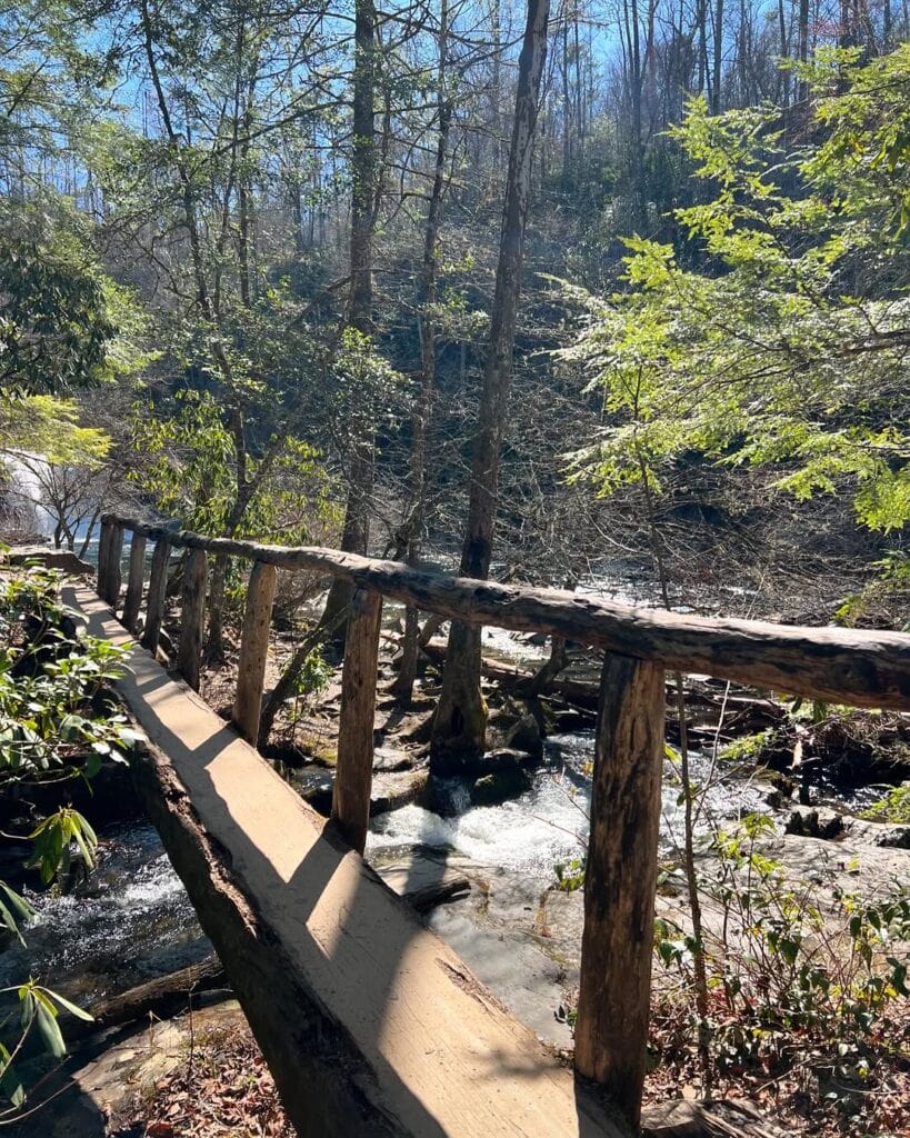
If you’ve read that the Abrams Falls Trail is one of the most dangerous in the national park system, that comes with a caveat. The trail itself isn’t too bad, though there are some steep elevation gains and drops along the way. Be prepared for two log crossings with a handrail, but still very slippery as you walk.
The biggest risk is that you get the most voluminous waterfall in Great Smoky Mountains National Park. The rocks are slippery, and the water has an undertow as strong as a vacuum.
The “dangerous” rating comes from the numerous drowning deaths here. Avoid getting in the water, and you’ll find it to be a nice mid-level hike in the Smokies.

Mingus Creek Trail
Length: 5.8 miles
Elevation Change: 1515 feet
Park Section: Oconaluftee
Challenges: Creek crossings can be hazardous after rain, no footbridges
Mingus Creek Trail offers a mix of history and backcountry beauty, with Mingus Mill serving as a fitting start or finish. The historic mill, built in 1886, still operates today and sets the tone for a hike that includes nature, culture, and even a family cemetery.
The trail itself climbs steadily along Mingus Creek, passing through rich forests with rhododendron, streams, and occasional wildlife sightings. It’s a quieter path compared to many Smokies hikes, making it special for those who want both solitude and a taste of Appalachian heritage.
The last half mile or so before the turnaround is steep. Save energy and go back down gently to avoid knee injuries.

Grapeyard Ridge Trail
Length: 5.8 miles
Elevation Change: 980 feet
Park Section: Greenbrier
Challenges: Five creek crossings with no bridge help
Grapeyard Ridge Trail isn’t about a big waterfall or sweeping vista, but there’s still a payoff at the end. This is a history hike, winding through the remnants of old Smokies homesteads and logging camps.
The highlight is the rusting boiler from a 1920s steam engine, abandoned after it derailed into the creek. Along the way, you’ll pass mossy stone walls, forgotten clearings, and creek crossings that feel like stepping back into another time. The steam “injun” is the turnaround point.
If you want to keep walking (and have someone who can pick you up), keep walking about two more miles to connect with the Roaring Fork Motor Nature Trail.
Kanati Fork Trail
Length: 4.0 miles
Elevation Change: 1500
Park Section: Between Newfound Gap & Smokemont
Challenges: Steep, especially at the switchbacks
Kanati Fork Trail is a solid mid-level hike that still packs a workout. The grade is steady but manageable, making it less punishing than the park’s steepest climbs. The final switchbacks can be a doozy.
In spring, it transforms into a wildflower showcase, with trillium, violets, and dozens of other blooms lining the path, so you’ll have plenty of time to catch your breath. The trail ends at its junction with Thomas Divide Trail, which serves as the turnaround point for most hikers.
However, if this trail leaves you breathless, the best wildflower viewing is within he first two miles of the trail and before the switchbacks.
Boogerman Loop
Length: 7.4 miles
Elevation Change: 1050 feet
Park Section: Cataloochee
Challenges: Two steep sections, water crossings without a bridge, muddy trail after rain
The Boogerman Loop is a favorite for hikers who love old-growth forest. Towering hemlocks, poplars, and oaks make parts of this trail feel primeval, since much of it escaped the logging era.
The name comes from Robert “Boogerman” Palmer, a local boy who once said he wanted to be a “boogerman” when he grew up, and the nickname stuck.
The loop isn’t just a stroll, though. It’s long, with creek crossings, steep sections, and spots where the path can be confusing. Anyone tackling it should be comfortable reading a map and paying attention to trail signs.
Mount Sterling
Length: 5.6 miles
Elevation Change: 2,000 feet
Park Section: Mt. Sterling Gap
Challenges: Relentlessly steep path
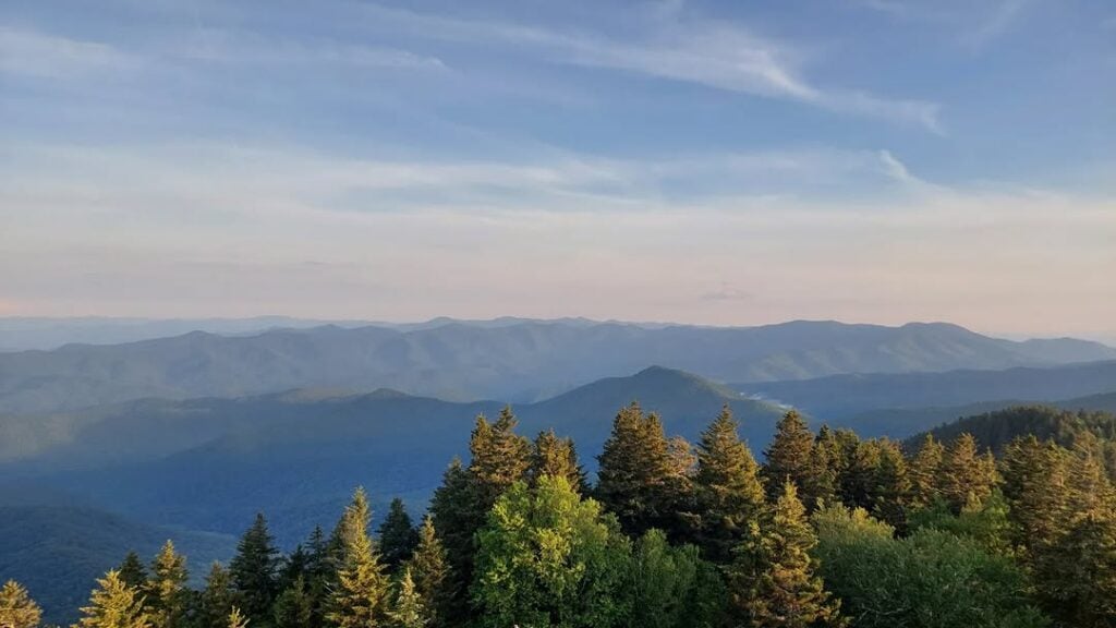
Mount Sterling is going to make you work for the payoff at the end. The trail climbs hard through thick forest and creek crossings before reaching the summit, where a historic fire tower waits. Climb it and you’ll get 360-degree views that stretch across the Smokies and into neighboring ranges.
While the views are “sterling,” the name actually comes from settlers who mistook sparkling mica in the soil for silver, leaving behind a legend to match the mountain’s grit.
There’s history on this train, too. The remote nature of Cataloochee made it a perfect hiding spot for defectors during the Civil War. You might find the story of Henry Grooms and “The Grooms Trail” interesting before hiking Mount Sterling. The story was also part of the movie Cold Mountain.
Smokemont Loop
Length: 6.5 miles
Elevation Change: 1,440 feet
Park Section: Smokemont
Challenges: Trails aren’t marked well
Smokemont Loop gives you a little bit of everything in one hike. It starts near the Smokemont Campground and climbs steadily through hardwood forest, eventually looping into quieter ridges where you’re more likely to hear birds than people.
In spring and summer, wildflowers line the trail, and in fall, the colors pop across the hillsides. Parts of the loop follow old roadbeds and stream valleys. Footing can be rocky or muddy after rain. It’s not the hardest trail in the park, but the steady elevation gain makes it a true mid-level workout.
Picking the Perfect Mid-Level Hike in the Smokies
You’ll always want to check the park conditions before picking a place to hike in the Smokies. Trails can be closed for rehabilitation, weather damage, or other reasons. You’ll also want to check in with the nearest ranger’s office for trail conditions and hidden gems along your preferred path.
From Caves Code to Cherokee, there are so many wonderful options to explore, and we’d love you to share your favorite hike photos from the Smokies with us.


